


If we’re being honest, Google Maps has almost entirely put paid to any traditional notion of maps and atlases and for something that is actually committed to paper instead of hosted on a server to stand out, it has to be something a little bit special and that’s certainly a compliment that can be aimed at these excellent looking Illustrated Maps from Katherine Baxter which really bring some major cities to life in a decidedly engaging way.
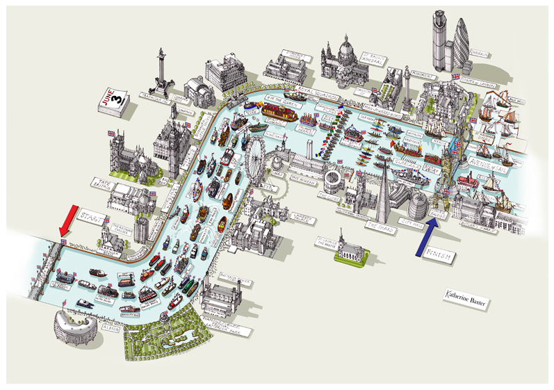
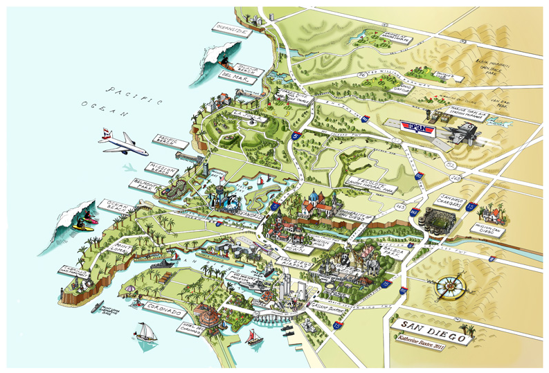
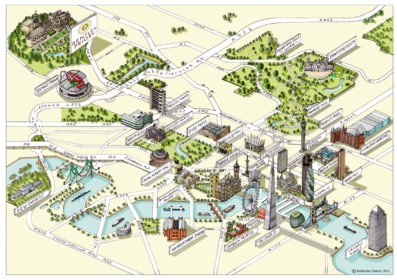
Baxter is a London based artist who has a love for ariel views and seeing the world from above and this lends itself extremely well to this visually impressive illustrated maps that take in the likes of London, New York and San Diego. Her architectural vistas have certainly struck an aesthetic chord with us here at Coolector HQ and you can check out some of our favourites below:


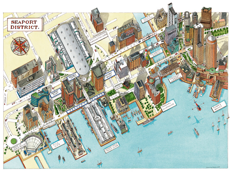
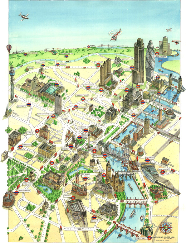
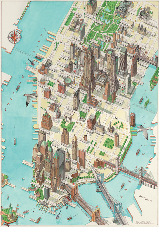
Whilst we wouldn’t want to rely on one of these maps to find our way around a city in the same way we use Google Maps, we definitely prefer them visually and the considerable illustrative talents of Katherine Baxter are plain to see. If you have a love of cartography then you’ll be well served by casting a glance in the direction of Baxter’s excellent body of work.
See More: Katherine Baxter

- Timeless Transitional Outerwear: The Taylor Stitch Dean Jacket - March 27, 2026
- Melting Away Muscle Tension: The ARAY Heated Roller - March 27, 2026
- Forged For Connection: The Timberstove 24″ Stainless Steel Fire Pit - March 27, 2026